Lessons from an Atlas Unbound
Quick Start
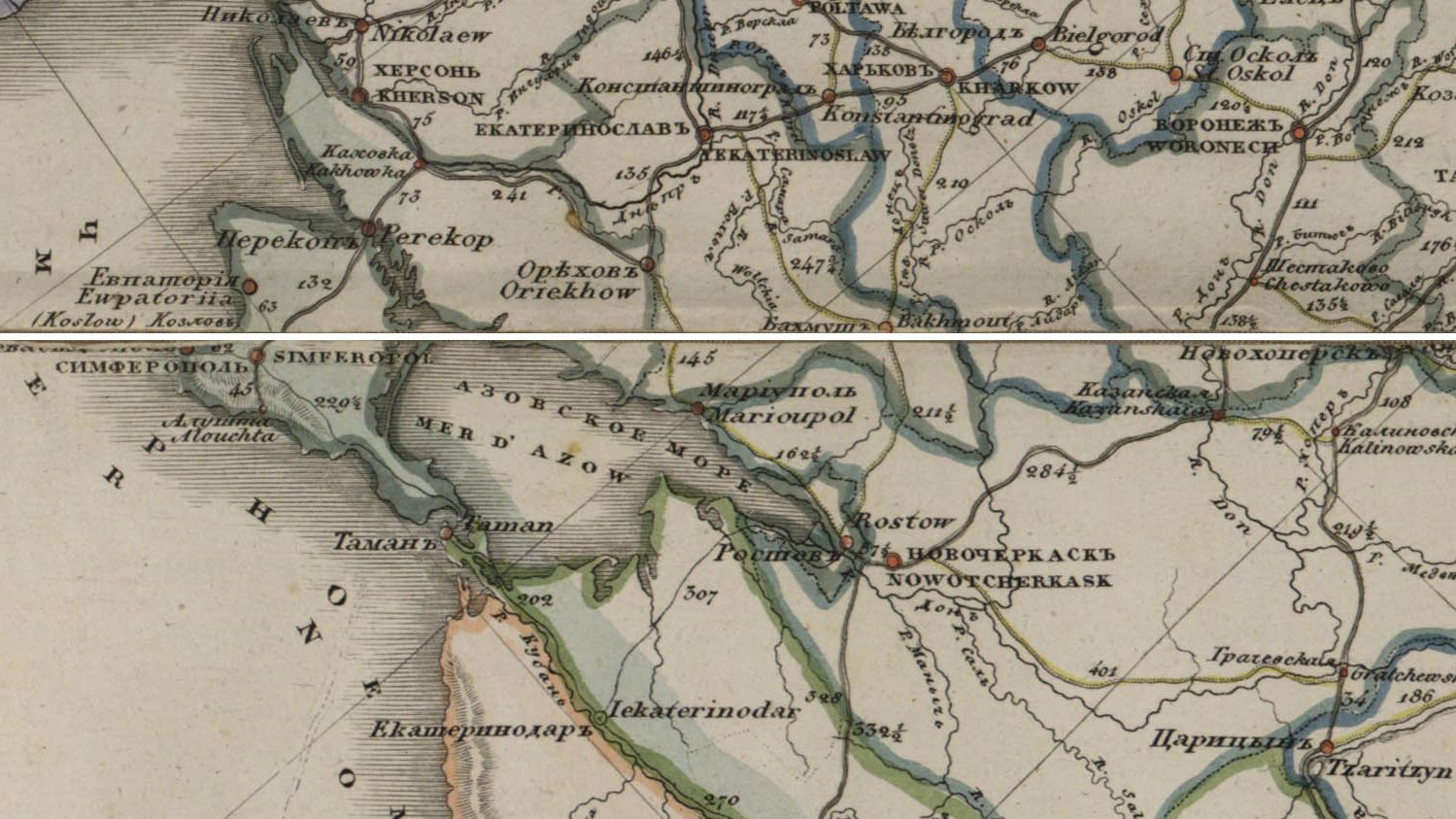
Select a title below.Scroll through the map series using the left and right arrows.
The map title displays automatically in the upper left.
To read the analysis or explanatory text, rest your cursor on the title text.
To see a full page version of any map, click on the image in the main display, on the map title, or on the relevant link below.
About the Lessons
Here is a collection of observations about the geospatial structure of the empire. (In other words, this is a collection of potential answers to the question "What can we learn about how the empire worked by paying attention to space (and spatial relations)?")Each observation derives from the Geographical Atlas and the layers of data extracted from it. They were generated simply by panning, zooming, toggling layers, and training an inquisitive eye on the screen. Each observation is composed of a progression of maps and accompanying texts.
These observations are examples of what we might call "elementary spatial analysis," The trick here is to seek out patterns or idiosyncrasies, strange-looking clusters, outliers, etc. Think creatively, look closely, and focus on what the map suggests, rather than on what you already know, about Russian space.
The goal is to generate questions for further research; questions that might lead to insights, and perhaps even new theories, about the spatial logic of the tsarist empire. In that spirit, the short spatial histories in this section aim not to provide authoritative explanations but rather to highlight places in the data that stimulate curiosity, provoke questions... and demand more maps!