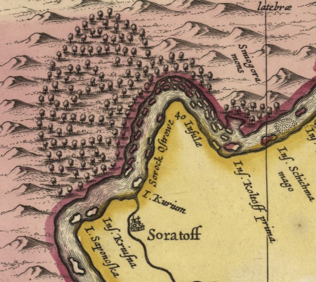
shoals and shallows
So is this.
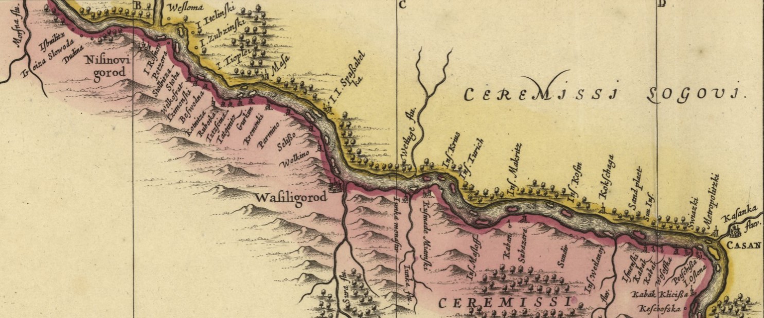
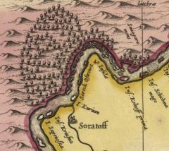
The two maps have astonishingly little in common. They were made in different centuries (the top map, which can be found in the Baedeker Handbook, was made at the end of the 19th century while the bottom dates to roughly 1680) and they tell different stories.
What they have in common is a connection to travel and to the idea of "opening" Russia to the world. The Baedeker map (top) was made to help travelers navigate the itineraries of the Handbook. The "New and Accurate Map" (bottom) documents the travels of Adam Olearius, a German mathematician-cum-diplomat, making it one of the earliest and most authoritative written accounts of the Volga.
Placing the maps next to one another suggests a story of significant change to human settlement along the Volga banks over the centuries.
But if you want to learn something of the river itself, you can set aside the modern map: its delicate lines suggest the shifting nature of the river's breadth, but it is the early map that speaks of the river bed, shoals, shallows, and islands, that made navigation a challenge to even seasoned local pilots.
This page is referenced by:
This page references:
- He is known for far more important things, but...
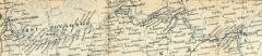
- detail of Baedeker map (#23) showing the region of the Volga from Nizhni-Novgorod to Suizran
- detail from "Nova et accurata Wolgae fluminis olim Rha dicti delineatio" (New and accurate map of the Volga, or Rha)
- detail from "Nova et accurata Wolgae fluminis olim Rha dicti delineatio" (New and accurate map of the Volga, or Rha)